2021. September 27.
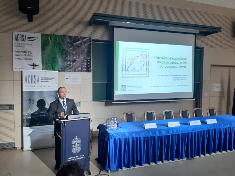
Our department participated ont the 3rd conference organized by the Hungarian Aerial Cartographic and Remote Sensing Association with three presentations.
- Csaba ÉGETŐ, János JUHÁSZ (BME): Data recording of road accidents on site using photogrammetric methods
- Zoltán SIKI (BME): Processing UAV photos using open source applications
- Bence TAKÁCS, Csaba ÉGETŐ, Christoph MAYER (BME): UAV photogrammetry in road surface classification

Csaba ÉGETŐ presenting one of their research
Videos will be available soon on the website of the organization but only in Hungarian.
